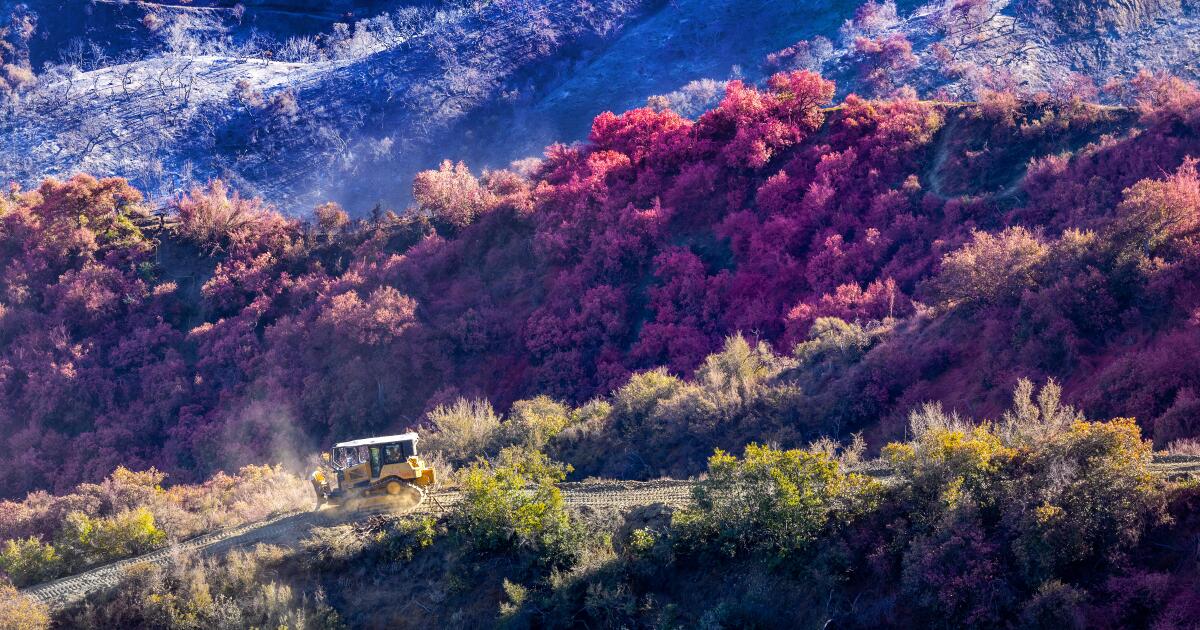
Since the Palisades Fire broke out on Jan. 7, it has burned almost 24,000 acres through Pacific Palisades and several neighborhoods along Pacific Coast Highway. Many of those acres were populated by homes, and others popular hiking trails throughout the Santa Monica Mountains. Firefighters continue to make progress on extinguishing the Palisades fire, which was 63% contained as of Tuesday afternoon.
But it will take months to account for the scale and reach of damage it has caused. Though there’s not yet a clear verdict on how the Palisades fire started, it may have been somewhere near Skull Rock.
To put together a better picture of the devastation, I compiled a list of the trails affected, determined via the mapping tool CalTopo. By cross-referencing its maps and the fire footprints with maps of local hiking trails, I determined which routes were in the burn area. That said, just because a trail is in the burn area doesn’t mean it was entirely destroyed. We’ll learn more about specific conditions of each trail in the coming months, as well as when trails might start to reopen.
Several parks and public lands remain closed within the Santa Monica Mountains. Topanga State Park and Will Rogers State Historic Park, which were both damaged in the fire, remain closed to the public.
All parks and trails in the Santa Monica Mountains, and in fire evacuation zones managed by the Mountains Recreation and Conservation Authority, are closed until officials determine it safe to reenter. That includes Temescal Gateway Park, Fryman Canyon Park and the Betty Dearing Trail, Franklin Canyon Park and Upper Las Virgenes Canyon Open Space Preserve. Additionally, per the National Park Service, Paramount Ranch and Solstice and Cheeseboro Canyons are closed.
Lastly, if you do choose to hit the trails, be mindful of the local air-quality measurements.
Trails that burned in the Palisades fire
- San Vicente Mountain to Gizmo Peak via Dirt Mulholland Drive and Farmer Ridge Fire Road: This trail runs along the northern edge of the northeastern flank of the fire. Several sections appear to have burned. The windy 1.2-mile portion of Mulholland north of Gizmo Peak that creates a loop trail with Farmer Ridge Fire Road falls outside the burn perimeter.
- West Mandeville Fire Road
- West Mandeville Ridge Trail
- Garapito Canyon Trail: The first 2,000 feet of this trail appear to have burned. The rest, leading south to the Backbone Trail, did not burn.
- Murphy Ranch Trail
- Sullivan Canyon Fire Road
- Sullivan Ridge Trail (including Old Staples Loop)
- Garden Land Trail: Most of this trail appears to have burned.
- Inspiration Point Loop
- Backbone Trail: The first seven miles, starting at the Will Rogers trailhead, appear to have burned. There is then an 8.7-mile segment northwest of Temescal Peak running west past Eagle Rock and Musch Trail Camp that appears not to have burned. Then, near Saddle Peak, the trail runs along and near the western flank of the fire. Westward from near Piuma Road, the trail is not burned.
- Rustic Canyon Trail (including falls)
- Bone Canyon Road
- Pasture Trail
- Rivas Canyon Trail
- Temescal Canyon Trail
- Temescal Ridge Trail (including Skull Rock)
- Bienveneda Trail
- Goat Peak via High Point and Rivas Ridge Trail
- Potrero Canyon Loop at George Wolfberg Park
- Los Leones Trail (spelled on some maps as Los Liones)
- Paseo Miramar Trail: Referred to as East Topanga Fire Road on some maps; includes Parker Mesa Overlook.
- Trailer Canyon Fire Road
- Santa Ynez Canyon Trail: The majority of this trail burned. The last one-third of a mile, near Trippet Ranch, appears not to have burned. There is a 0.6-mile trail that branches of this route and takes hikers to the Santa Ynez Falls. The last half of that path appears not to have burned.
- East Topanga Fire Road: The majority of this 4.9-mile path is burned, outside of the last 0.55 miles that ends at Trippet Ranch. Includes the first two miles, which is referred to as Paseo Miramar on some maps.
- Budwood Motorway of Tuna Canyon Trail
- Big Rock Lateral and Big Rock Motorway of Tuna Canyon Trail
- Hearst Tank Motorway of Tuna Canyon Trail
- Topanga Lookout Trail: The fire burned just south of the parking area and appears to have burned near the first 1,600 feet.

